Virtual location scouting: recreate a shooting site with 3D data
A practical GlobeXplore Pro workflow for combining Google Earth, PLATEAU, CAD data, and photogrammetry, then testing location, time, weather, and lens conditions before a drone shoot.
Publisher: ozora / Updated:
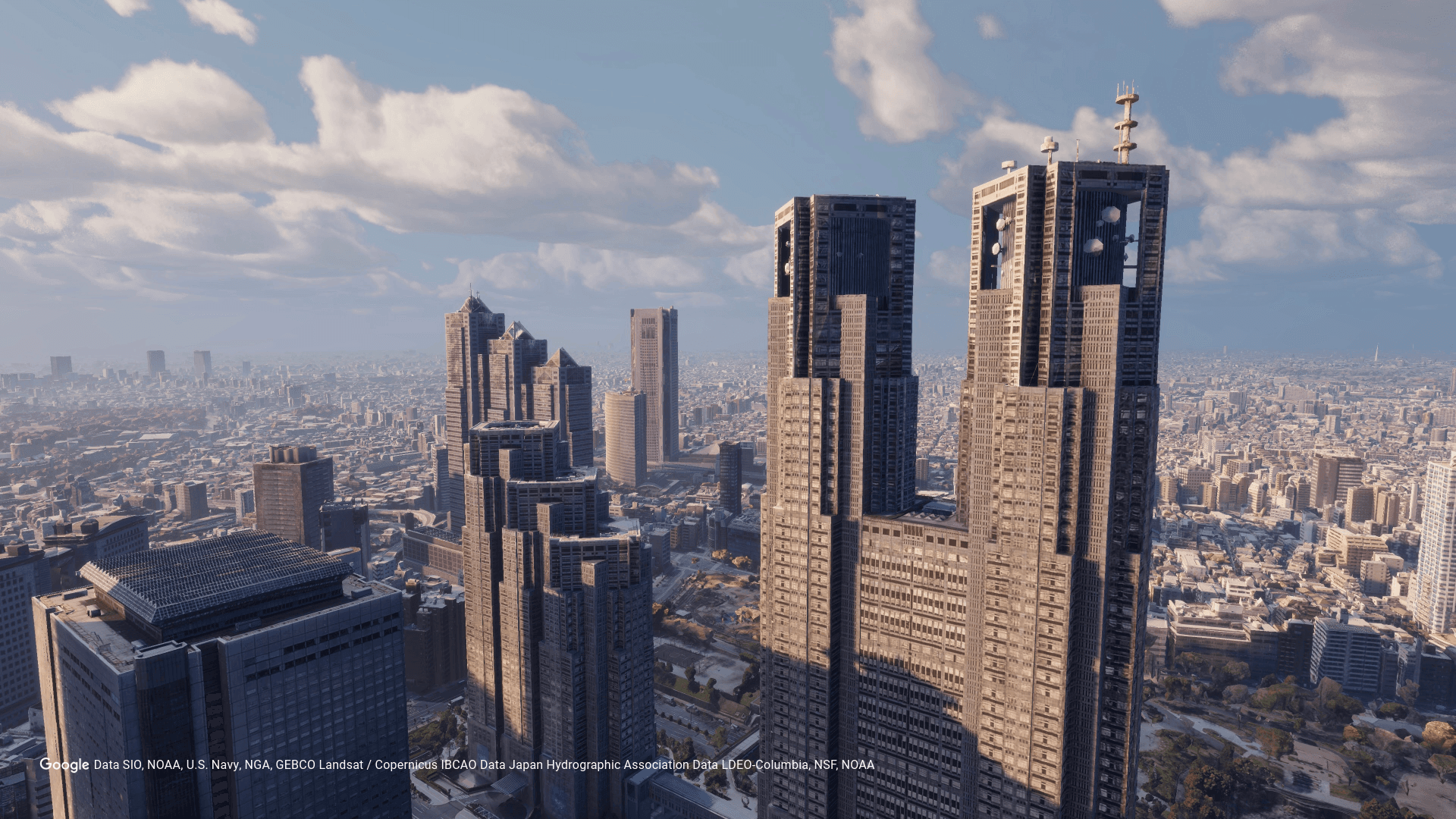
What virtual location scouting can help you examine
GlobeXplore Pro is professional drone simulation software from ozora for drone pilots involved in video production. It integrates multiple 3D data sources and recreates a real site in the software. This gives a team a way to discuss shooting conditions before traveling to the site when location scouting is costly or the drone's operating range is difficult to communicate.
Site data you can use
GlobeXplore Pro supports Google Earth, PLATEAU, existing CAD data, and photogrammetry created by scanning a space with a smartphone. Indoor facilities without suitable 3D data can be converted into 3D data with photogrammetry and imported. Existing CAD data is useful when a case requires higher precision.
A practical shooting-plan workflow
After recreating the site, set time, weather, and lens conditions to compare possible shots.
- Gather the location, time, equipment, and other conditions that need to be reproduced.
- Collect site data from Google Earth, PLATEAU, CAD data, photogrammetry, or the combination that fits the site.
- Combine the collected data to recreate the site in the software.
- Set the time and weather, then select an equivalent lens angle for the drone being considered.
- Run the shooting simulation from the selected conditions without being limited by the physical location or time of day.
Choosing the right data for the site
Google Earth can be a starting point for broad coverage, PLATEAU provides detailed 3D city models for major Japanese cities, existing CAD data can support higher-precision cases, and photogrammetry can provide 3D data for indoor facilities without suitable existing data. Choose and combine sources based on the location, required precision, and data available for the project.
Constraints to confirm before adoption
Google Earth does not cover every location or condition. Indoor or higher-precision sites may need another 3D data source. Confirm the specific drone model in advance. GlobeXplore Pro supports macOS and Windows.